
Augmented Reality Sandbox New Addition to RSC
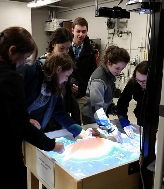
Gannon University Environmental Club learns how to use the Augmented Reality Sandbox at the RSC
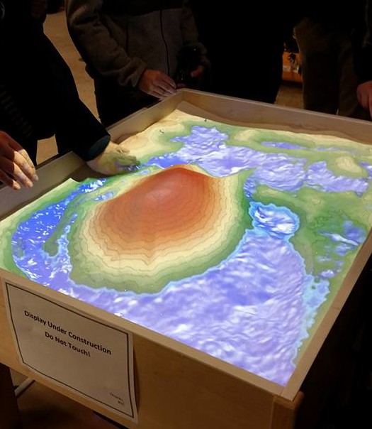
The Regional Science Consortium recently added an Augmented Reality (AR) Sandbox to its collection of research tools! The sandbox was developed by UC Davis at the W.M Keck Center for Active Visualization in the Earth Sciences (KeckCAVES) alongside the UC Davice Tahoa Environmental Research Center, Lawrence Hall of Science, and ECHO Aquarium and Research Center. The AR Sandbox is involved in an NSF-funded project on informal science education for freshwater lake and watershed science. The sandbox uses 3D visualization applications and a hands-on exhibit combining a real sandbox, virtual topography and water created using a closed loop of a Microsoft Kinect 3D camera, powerful simulation and visualization software, and a data projector. The resulting (AR) sandbox allows users to create topography models by shaping real sand, which is then augmented in real time by an elevation color map, topographic contour lines, and simulated water. The system teaches geographic, geologic, and hydrologic concepts such as how to read a topography map, the meaning of contour lines, watersheds, catchment areas, levees, and much more.